Capture
Plot
Interrogate
Automate
Manage
Present
Capture
data worth
sharing.
mapping.
evaluating.
reporting.
visualising.
sharing.
sharing.
Take your data collection, management and delivery to a new level with Datanest.
Our users


What is Datanest?
Datanest is the industry-leading data software designed primarily for scientific and engineering consultants. Covering all aspects of project work from in-field data collection through to automated report delivery, each of Datanest's five modules offer fully customizable end-to-end workflow solutions, allowing you to produce exceptional outputs while saving time and money.

We’re here to help you.
At Datanest, we pride ourselves on being more than just another SaaS company. We work closely with all our clients to provide individualized plans and support whenever and wherever you need it. If you've got a question or want to know more about how Datanest can help your business, get in touch today.

Gather.
Gather is the only in-field data collection tool you’ll ever need. Using Gather's intuitive features and fully customizable data collection forms, collect and manage data like a pro. Build your own forms or select from our extensive template library then seamlessly analyze and review the data in real-time.
Hub.
Using our secure all-in-one hub, manage all your data and reporting needs from one central location. Easily view, import, export, and edit your data, or integrate with industry-leading logging, modelling, project management and enterprise applications.
Deliver: Workflow.
Save hours of time and free up your technical staff to concentrate on the smart stuff using Deliver. Deliver allows you to produce automated reports and reduce errors, all while delivering exceptional results.
Evalu8.
Designed specifically for environmental scientists, Evalu8 is changing the face of environmental analysis and reporting. Fully integrated with the other Datanest modules, Evalu8 allows you to manage your environmental data faster than ever before. Compare your current and historical lab data, data logger information and telemetry data to thousands of environmental standards and identify any exceedances in a matter of minutes.
Maps.
Creating high quality, visually-engaging and accurate maps has never been so easy. With Maps anyone can build exceptional site plans and figures without specialist spatial skills or compromising on quality.
Deliver: Visual Reports.
Produce automated reports at the click of a button using Deliver. Create high-quality, customized reports in a fraction of the time it takes to write a standard reporting using Deliver's drag and drop functionality. Or, really impress with our interactive online portal. Your clients will love being able to view and interact with highly-engaging visual reports in real-time.
Testimonials.


.jpg)
.png)


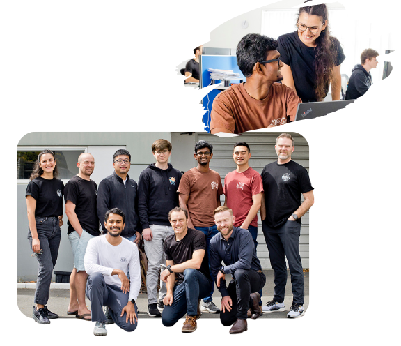
About the team.
Striving to create efficiency in everything we do.
Entuitive is the team behind Datanest. We create new and intuitive software that helps you and your business work smarter and faster. That’s because we understand the industry we’re creating tools for. Our aim is to continually develop new products, with the simple objective of streamlining industry processes and greatly improving quality at the same time.
Based in Christchurch, our talented team have been encouraged by the success of an award-winning asbestos management tool. We initially developed a contaminated land software called Evalu8 that allowed users to compare analytical results to 6000 guidelines from around the world. We built a mapping function into Evalu8 that proved popular with a wide variety of users because it allowed people to deliver high-quality exports without putting pressure on their GIS teams. We focused on this aspect and built on it to create Datanest, a platform that allows any user to collect, manage, map and deliver data to a high level.
Get a
demonstration.
Set up a time, and we’ll talk you through how Datanest can shave hours off your week.
Try Datanest for yourself.
Book in a demonstration today and you'll get a free 14 day trial.
Compatibility where it
counts.
Datanest integrates wide array of software products to enhance efficiency in your workplace.

